UN
9 Barbary Lane
£ 320,526
Description
We don't have a Description for this property.
- Bedrooms
- 4
- Bathrooms
- 0
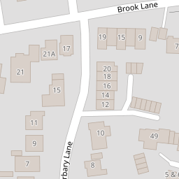
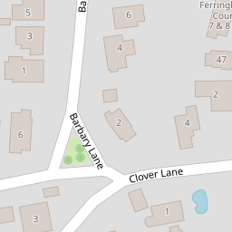
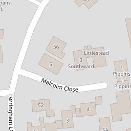

Leaflet © OpenStreetMap contributors
The heatmap indicates the level of crime in the area. The color of the heatmap indicates the crime severity and recency.
Metrics Year-on-Year
- Average area value
- 761,083.00 £Increased by 6.90 %
- Average area rental value
- 2,056.00 £/moDecreased by 3.34 %
- Est rental Yield
- 3.24 %Decreased by 9.75 %
- Crime Rate
- 34.00 %Unchanged by 0.00 %
from 711,963.00 £
from 2,127.00 £/mo
from 3.59 %
from 34.00 %
Nearby Schools
| Name | Type | Ofsted | Distance |
|---|---|---|---|
| Ferring C Of E Primary School | Voluntary Controlled School | Requires improvement | 0.92 KM |
| St Oscar Romero Catholic School | Voluntary Aided School | Good | 2.01 KM |
| Greater Brighton Metropolitan College | Further Education | Requires improvement | 2.49 KM |
| East Preston Infant School | Community School | Good | 3.29 KM |
| Goring-By-Sea Cofe (Aided) Primary School | Voluntary Aided School | Good | 3.33 KM |
Images
Nearby Streets
| Name | Average Price | Average Sqft | Distance |
|---|---|---|---|
| St. Helier Road | £ 270,000 | 0 | 0.00 KM |
Nearby Transport
| Name | NLC | TLC | Distance |
|---|---|---|---|
| Goring-By-Sea | 5272 | GBS | 2.12 KM |
| Angmering | 5267 | ANG | 4.27 KM |
| Durrington-On-Sea | 5282 | DUR | 4.44 KM |
| West Worthing | 5278 | WWO | 6.48 KM |
| Worthing | 5279 | WRH | 8.33 KM |
Nearby Listings
| Address | Price | Type | Score | Distance |
|---|---|---|---|---|
| Ferringham Lane, Ferring, Worthing | £ 325,000 | BUY | 7 / 10 | 0.08 KM |
| The Grove, Ferring, Worthing, West Sussex, BN12 | £ 500,000 | BUY | 7 / 10 | 0.16 KM |
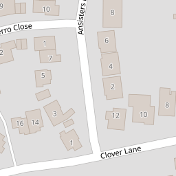
| Ansisters Road, Ferring, Worthing, West Sussex, BN12 | £ 450,000 | BUY | 7 / 10 | 0.18 KM |
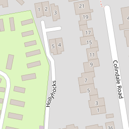
| Colindale Road, Ferring, Worthing, West Sussex | £ 485,000 | BUY | Unknown | 0.18 KM |
| Malcolm Close, Ferring, Worthing | £ 550,000 | BUY | 7 / 10 | 0.18 KM |
Nearby Properties
| Address | Price | Distance |
|---|---|---|
| 17 Barbary Lane | £ 355,000 | 0.00 KM |
| 11 Barbary Lane | £ 327,000 | 0.00 KM |
| 9 Barbary Lane | £ 320,526 | 0.00 KM |
| 18 Barbary Lane | £ 81,000 | 0.00 KM |
| 5 Barbary Lane | £ 220,000 | 0.00 KM |